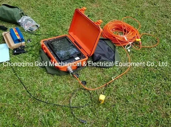
A 24-channel Geode seismograph sits on the corner of High and Broad. The crew lays out a spread of 4.5 Hz geophones across the asphalt. One sharp hammer blow sends a compressional wave racing through the glacial till beneath downtown Columbus. The refraction microtremor data feeds into the laptop in real time. Seismic tomography works because velocity changes at every layer boundary—from weathered shale to competent limestone. In Columbus, we use this method to map the top of bedrock across the Scioto River valley. The equipment is compact enough for urban infill lots. The resolution is good enough to spot a buried valley 40 feet down. Our team pairs this with MASW surveys when the client needs Vs30 data for an IBC site classification on the same mobilization day.
A 2D seismic tomography profile in Columbus glacial terrain can resolve bedrock topography within ±0.5 feet—that’s the difference between a spread footing and a driven pile.